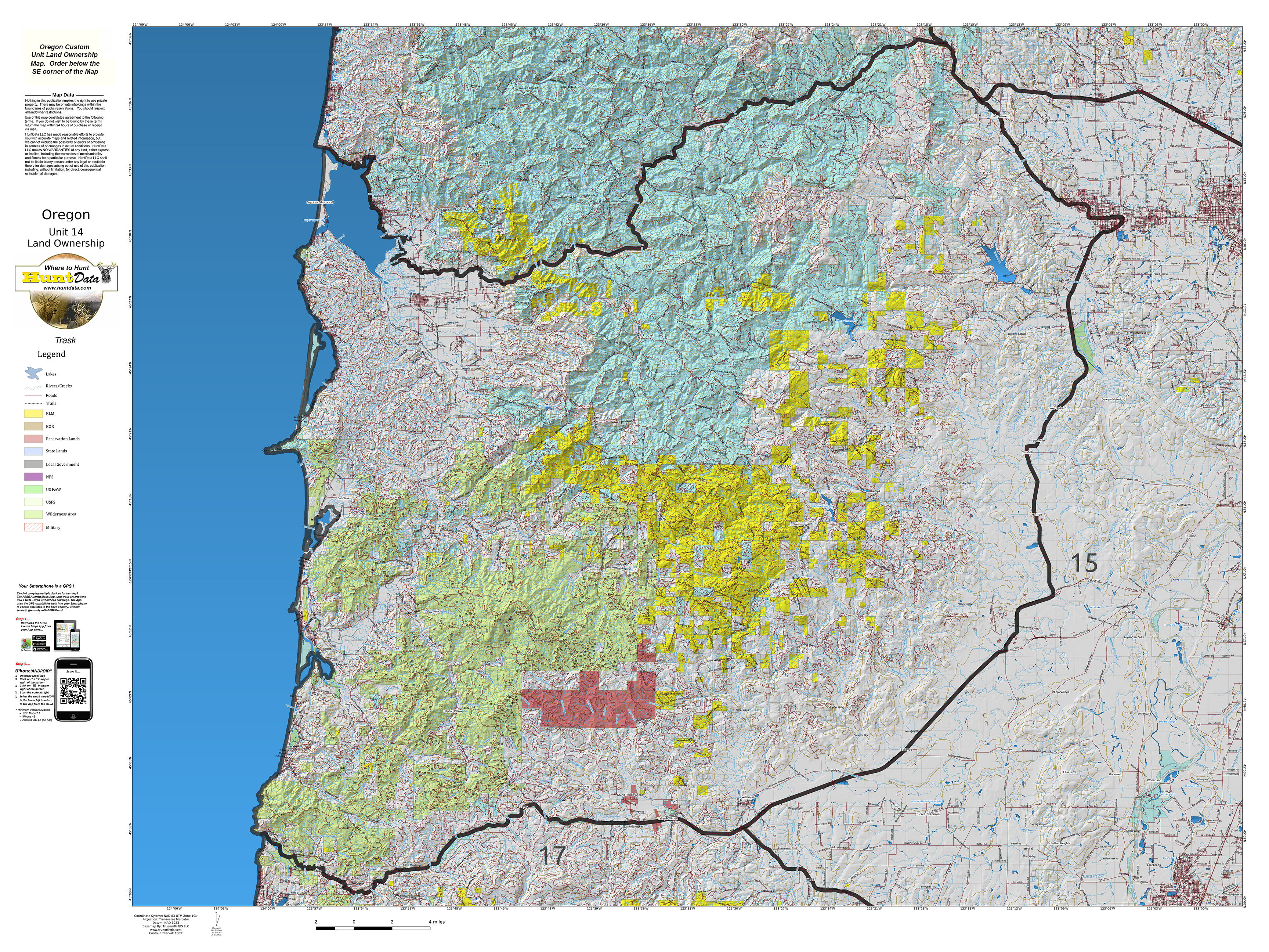
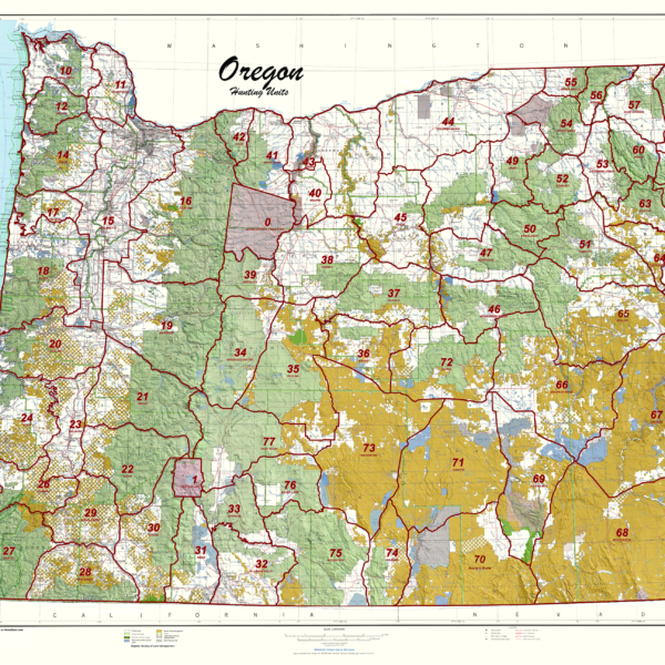
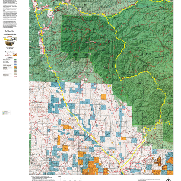
Oregon Unit Land Ownership Maps.
$24.95 – $29.95
1:100,000 scale Unit Maps for Oregon. In addition to unit boundaries, the maps display National Forest, State, Private, USFW and Federal Lands.
| Oregon_Units |
10 Saddle Mtn ,11 Scappoose ,12 Wilson ,14 Trask ,15 Willamette(North) ,15 Willamette(South) ,16 Santiam(North) ,16 Santiam(South) ,17 Stott Mtn ,18 Alsea ,19 McKenzie ,21 Indigo ,22 Dixon ,23 Melrose ,24 Tioga ,25 Sixes ,26 Powers ,27 Chetco ,28 Applegate ,29 Evans Creek ,30 Rogue(North) ,30 Rogue(South) ,31 Keno ,32 Klamath Falls ,33 Sprague ,34 Upper Deschutes ,35 Paulina ,36 Maury ,37 Ochoco ,38 Grizzly ,39 Metolius ,40 Maupin(North) ,40 Maupin(South) ,41 White River ,42 Hood ,42 Starkey ,43 Biggs ,44 Columbia Basin ,46 Murderers Cr ,47 Northside ,48 Heppner ,49 Ukiah ,50 Desolation ,51 Sumpter ,53 Catherine Ck ,54 Mt Emily ,55 Walla Walla ,56 Wenaha ,57 Sled Springs ,58 Chesnimsus ,59 Snake River ,60 Minam ,61 Imnaha ,62 Pine Cr ,64 Lookout Mt. ,65 Beulah ,66 Malheur River(North) ,66 Malheur River(South) ,67 Owyhee(North) ,67 Owyhee(South) ,68 Whitehorse ,69 Steens Mt. (East) ,69 Steens Mt. (West) ,70 Beatys Butte ,71 Juniper ,72 Silvies ,73 Wagontire(North) ,73 Wagontire(South) ,74 Warner ,75 interstate ,76 Silver Lake ,77 Fort Rock |
|---|---|
| Map Surface Selection General |
Paper Map (+$24.95) ,Dura-Map tear-proof, water-proof, just rugged (+$29.95) |
Only logged in customers who have purchased this product may leave a review.


Reviews
There are no reviews yet.