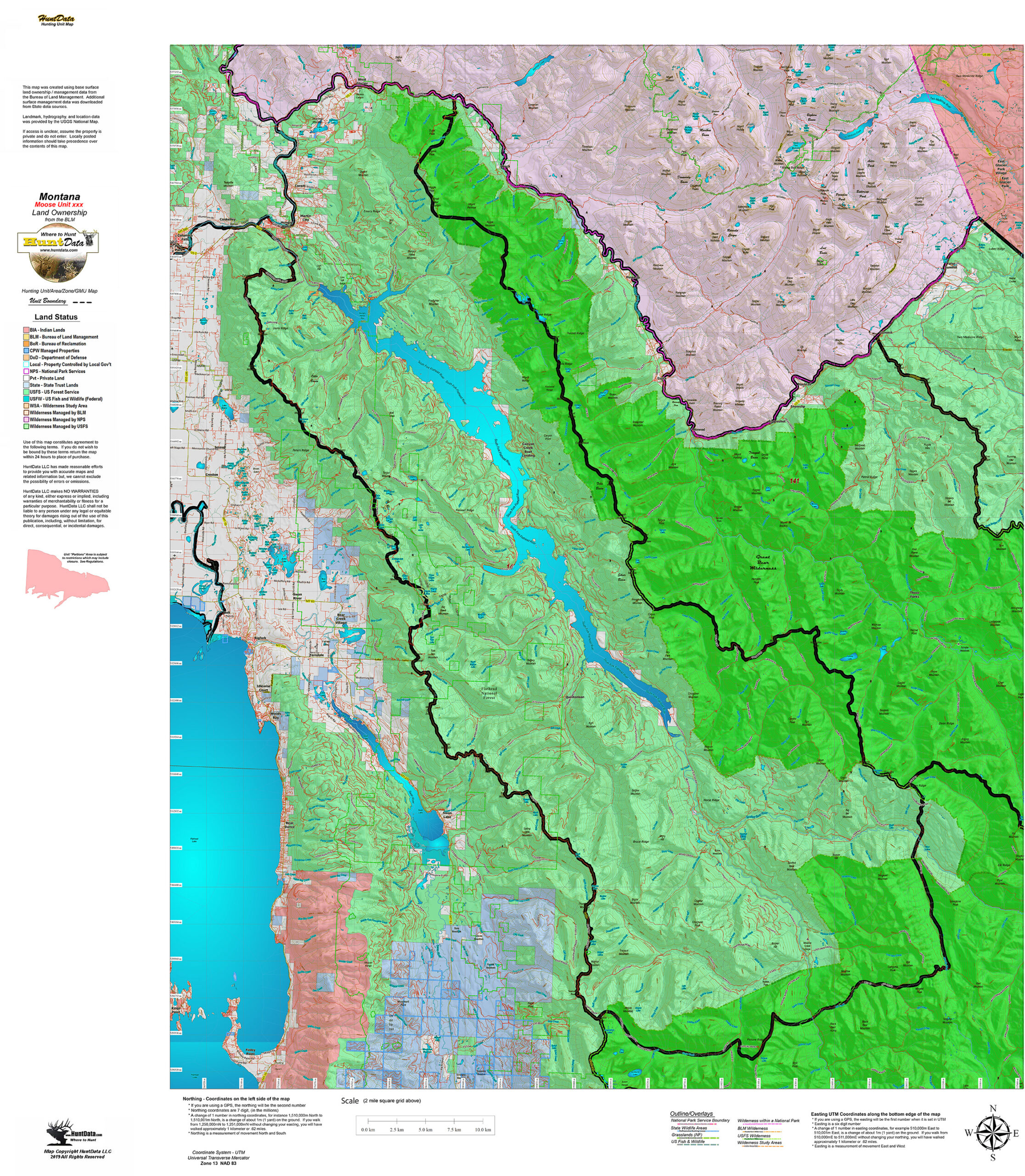
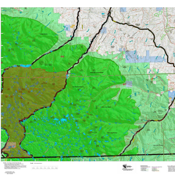
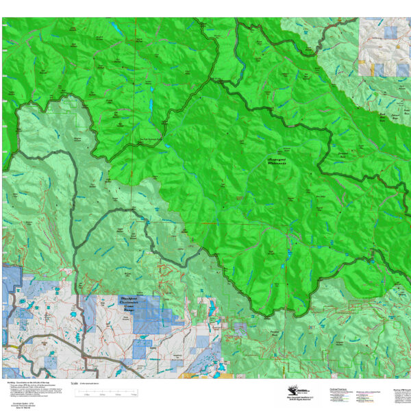
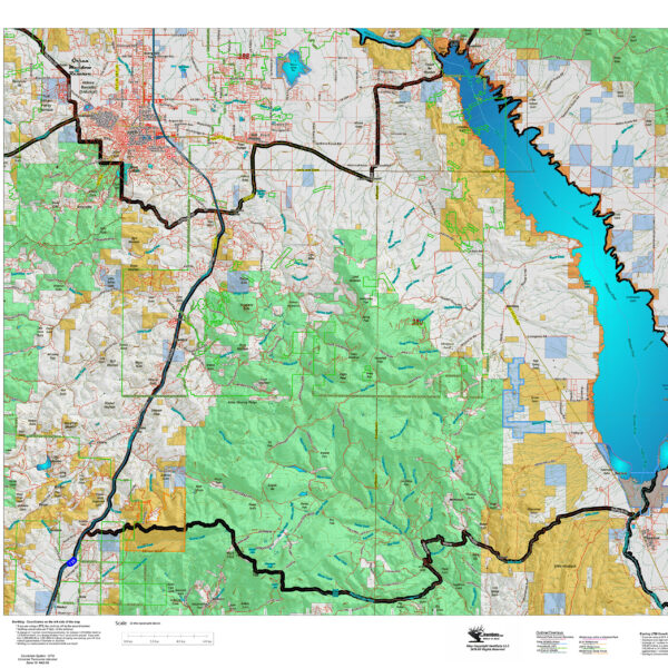
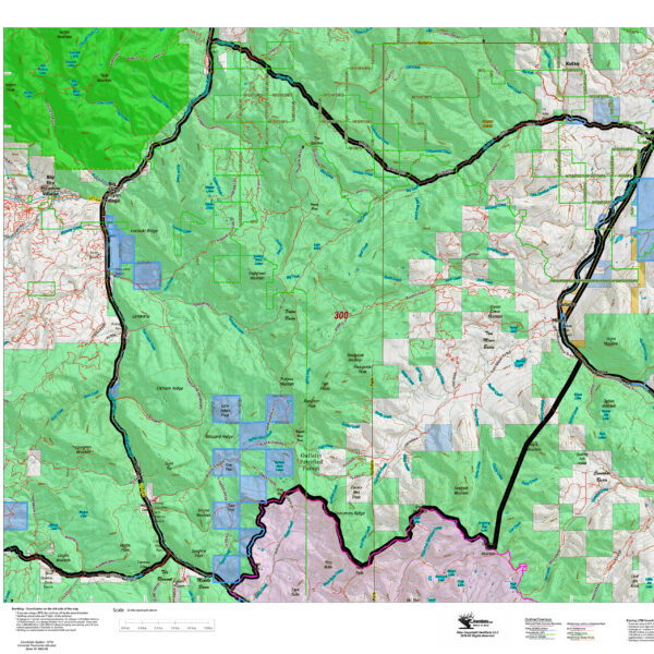
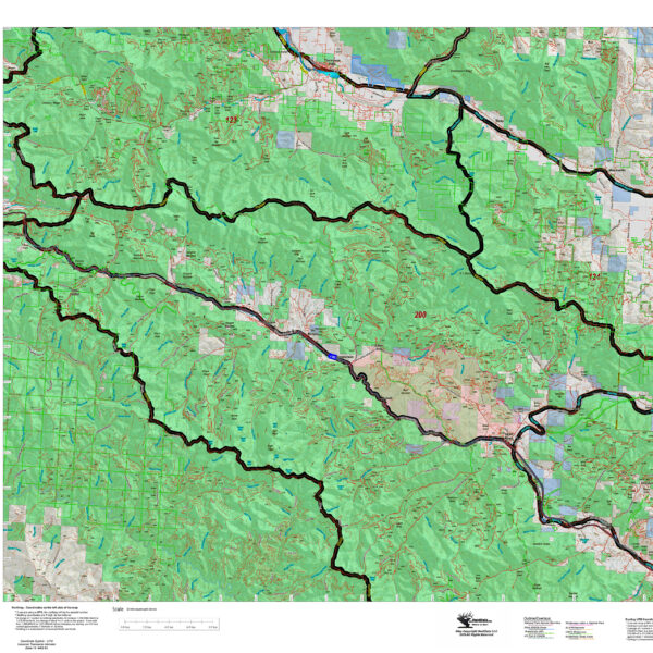
Montana Moose District Land Ownership Maps
$29.95
Custom maps built from the ground up using the latest BLM Land Status information, USGS 7.5 minute roads, National Forest, State, and other land ownership information with the latest Moose District boundary and portion (restrictions or closed) highlights. All printed on our rugged map fabric to creating a vibrant, long-lasting map.
Custom maps built from the ground up using the latest BLM Land Status information, USGS 7.5 minute roads, National Forest, State, and other land ownership information with the latest Moose District boundary and portion (restrictions or closed) highlights. All printed on our rugged map fabric to creating a vibrant, long-lasting map.
| Weight | .1 oz |
|---|---|
| Dimensions | 8 × 4 × .5 in |
| Moose Districts |
100 ,101 ,102 ,103 ,104 ,105 ,106 ,110 ,111 ,112 ,121 ,122 ,125 ,126 ,140 ,141 ,150 ,210 ,211 ,213 ,214 ,215 ,220 ,230 ,240 ,250 ,261 ,270 ,280 ,285 ,291 ,292 ,293 ,300 ,301 ,302 ,303 ,308 ,309 ,310 ,311 ,312 ,313 ,314 ,315 ,319 ,320 ,322 ,323 ,324 ,325 ,326 ,327 ,329 ,330 ,331 ,332 ,333 ,334 ,335 ,340 ,341 ,343 ,350 ,360 ,361 ,380 ,382 ,390 ,401 ,415 ,441 ,447 ,494 ,496 ,513 ,514 ,516 ,600 |
