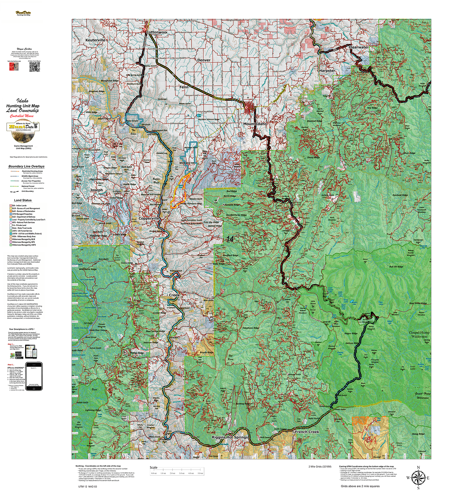
Idaho Moose Unit Maps.
$39.95
The Land Ownership Maps are built using land ownership data from USGS, National Forest and the State. We add current location data, streams, lakes, roads and trails from the USGS 7.5 minute Quad Map data set then print it on our rugged map fabric to create the best map in the industry. Click on the small map at left to see a larger sample. Scroll to the bottom of the map to order then move to the bottom right to Add To Cart.
SKU:
N/A
Category: Idaho Moose Unit Maps.
Additional information
| ID Moose Units |
1_1 ,1_2 ,1_3 ,2 ,3 ,4 ,4A ,5 ,6 ,7 ,8 ,8A ,9 ,10_1 ,10_2 ,10_3 ,10-4 ,10-5 ,10-6 ,10A_1 ,10A_2 ,10A_3 ,10A_4 ,10A_5 ,12_1 ,12_2 ,12_3 ,12_4 ,12_5 ,14 ,16 ,2 ,27 ,29 ,3 ,36A ,4 ,43 ,48 ,4A ,5 ,50 ,51 ,54 ,55 ,56 ,59 ,6 ,60 ,60A ,61_1 ,61_2 ,61_3 ,62 ,62A ,63A ,64 ,65 ,66_1 ,66_2 ,66-3 ,66A ,67_1 ,67_2 ,68A-1 ,68A-2 ,69_1 ,69_2 ,69_3 ,7 ,70 ,71 ,72 ,73 ,73-A ,74 ,75 ,76_1 ,76_2 ,76_3 ,76_4 ,77 ,78 ,8 |
|---|
Reviews (0)
Only logged in customers who have purchased this product may leave a review.
Shipping & Delivery


Reviews
There are no reviews yet.