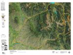
CO Mountain Goat Topo Map
$29.95 – $49.95Price range: $29.95 through $49.95
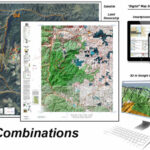
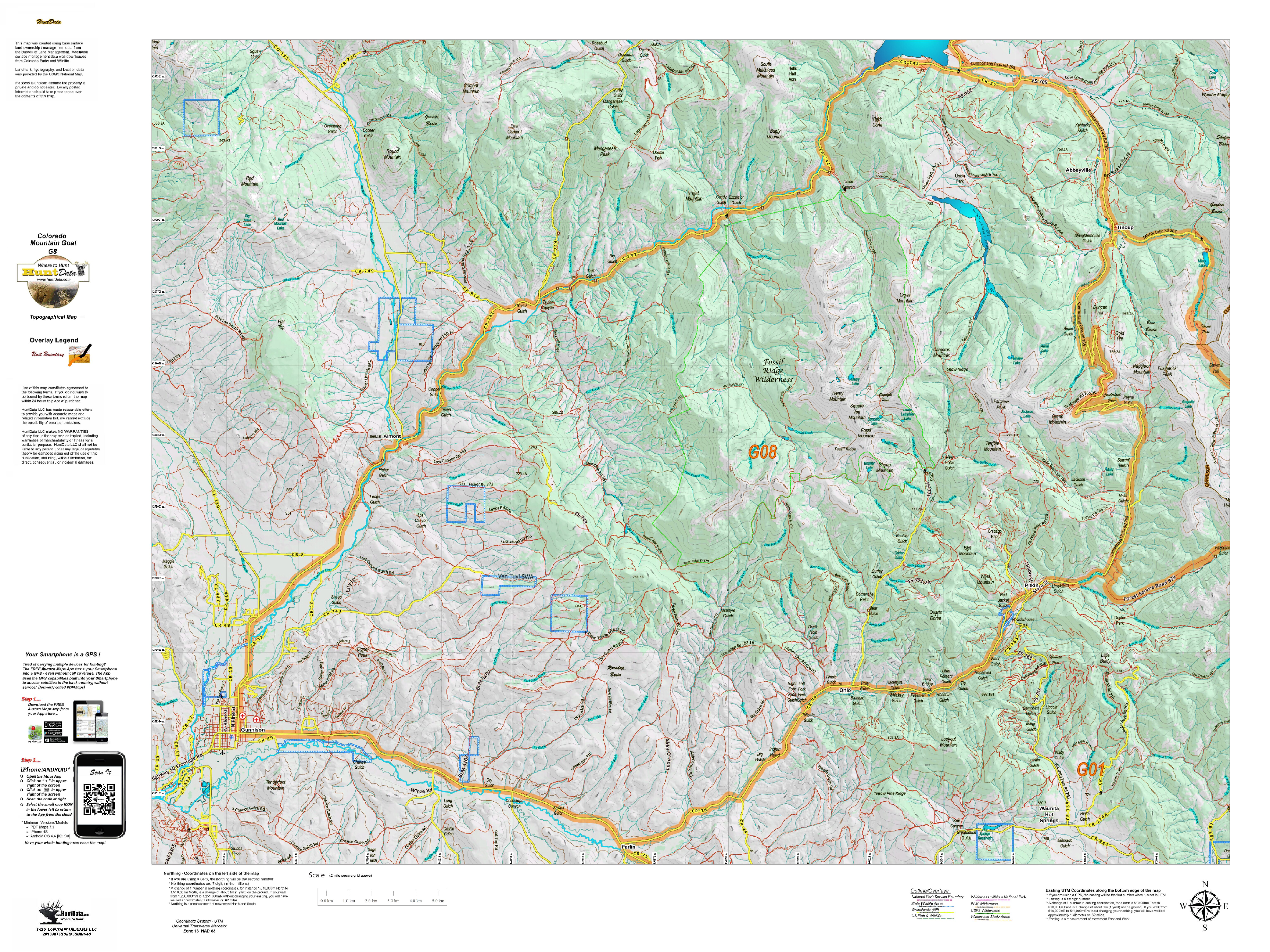
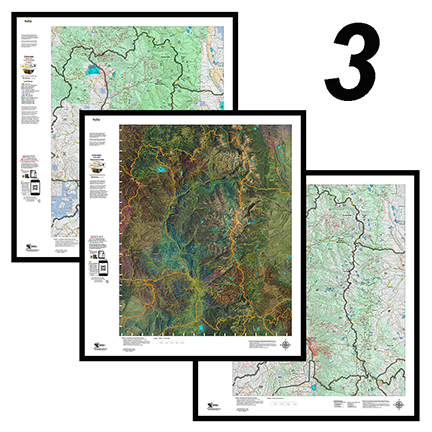
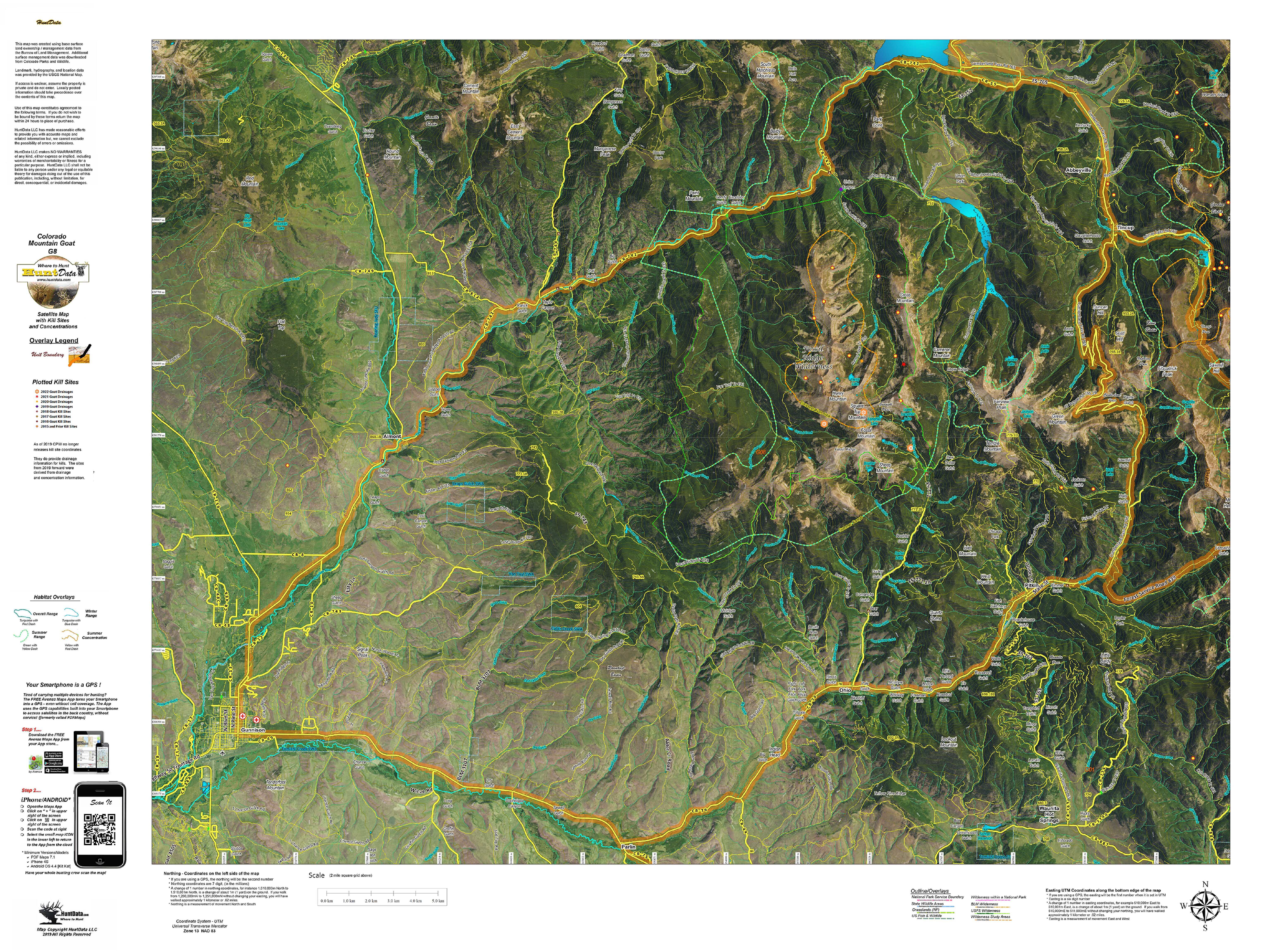
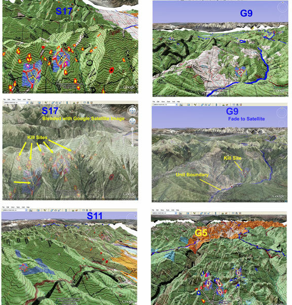
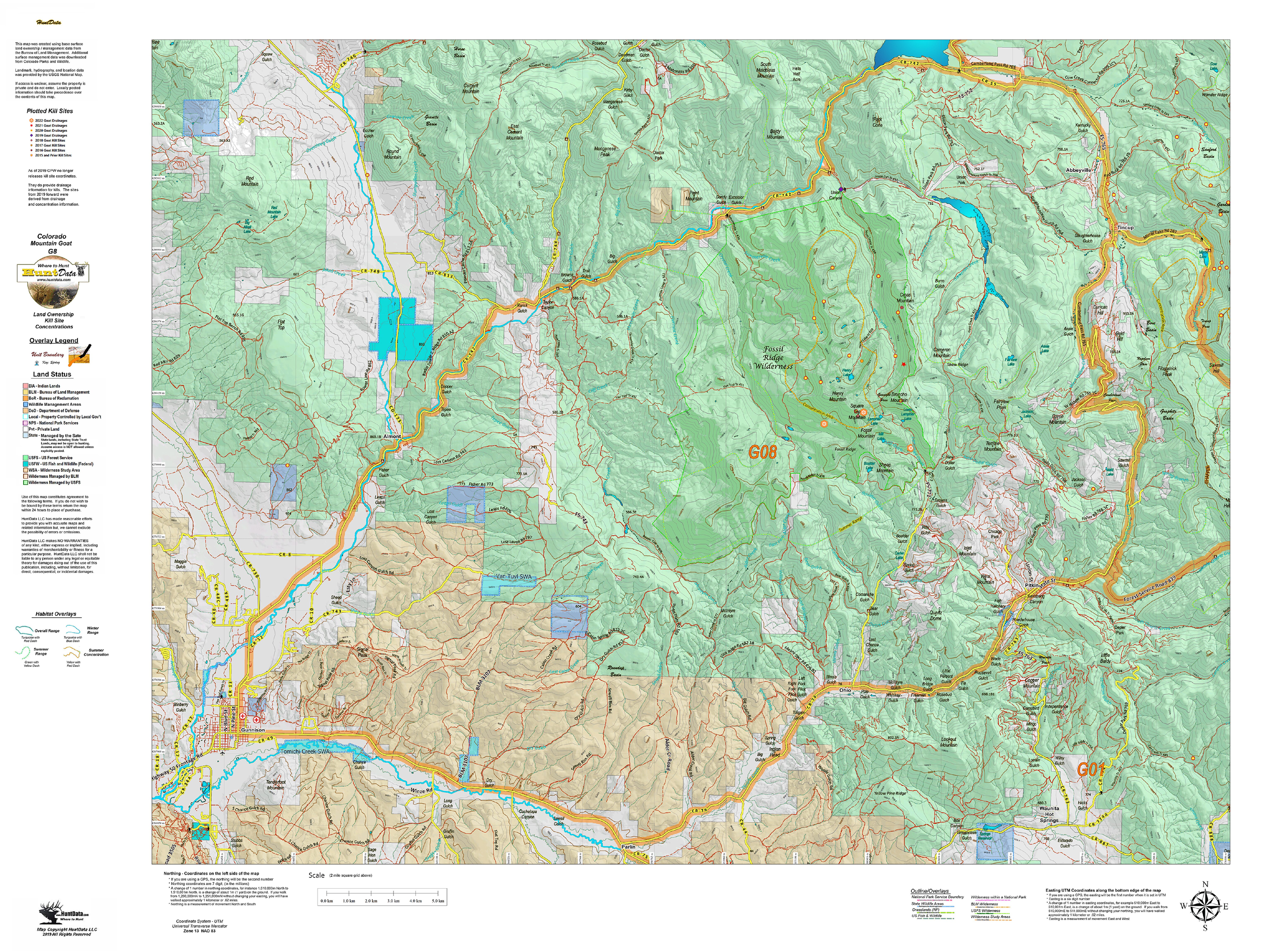
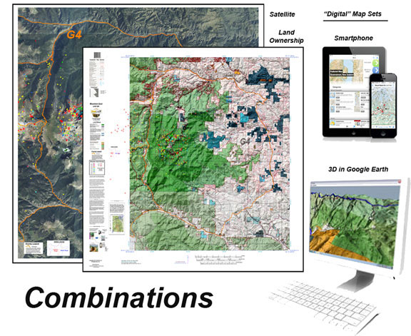
Our Topo Maps display unit boundaries and are built from the ground up at 1:60,000, 1:100,000 and 1:120,000 scales adjusted based on the size of the unit. All maps include the roads and trails from the popular USGS 7.5 minute Quads and are printed on our tear and water resistant fabric. When you add the digital maps you get Google Earth 3D images for the Land Ownership, Satellite, and Topo Maps. These maps all have a QR code you can scan using the Avenza Maps App on your Smartphone. Plan on the kitchen table, then 3D in Google and on your phone in the woods. The perfect hunting package.
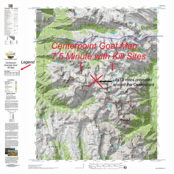
Our Topo Maps are built from the ground up at 1:60,000, 1:100,000 and 1:120,000 scales adjusted based on the size of the unit. The maps provide a traditional Topographical Map view.
To build the maps, we extracted the roads and trails from the popular USGS 7.5 minute quads and added them to every map with contour lines and the traditional light green vegetation tinting you are accustomed to in a topo map. We add National Forest, Wilderness, and other public lands outlines including CPW managed properties.
The Topo Maps are printed on our rugged fabric that will last as long as your memories!
Each map has a quick scan QR code that allows you to load the map electronically onto your Smartphone using Avenza’s free GIS mapping App (download from your app store). Poor over the printed maps on your kitchen counter then hit the trail and scout with the map on your Smartphone!
| Weight | N/A |
|---|---|
| CO_Mountain Goat Printed Map |
Unit G1 ,Unit G2 ,Unit G3 ,Unit G4 ,Unit G5 ,Unit G6 ,Unit G7 ,Unit G8 ,Unit G9 ,Unit G10 ,Unit G11 ,Unit G12 ,Unit G14 ,Unit G15 ,Unit G16 ,Unit G17 ,Unit G18 |
| Select |
Just the Printed Map (+$29.95) ,Add the 3D Collection for all 3 maps (+$49.95) |
Only logged in customers who have purchased this product may leave a review.

Reviews
There are no reviews yet.