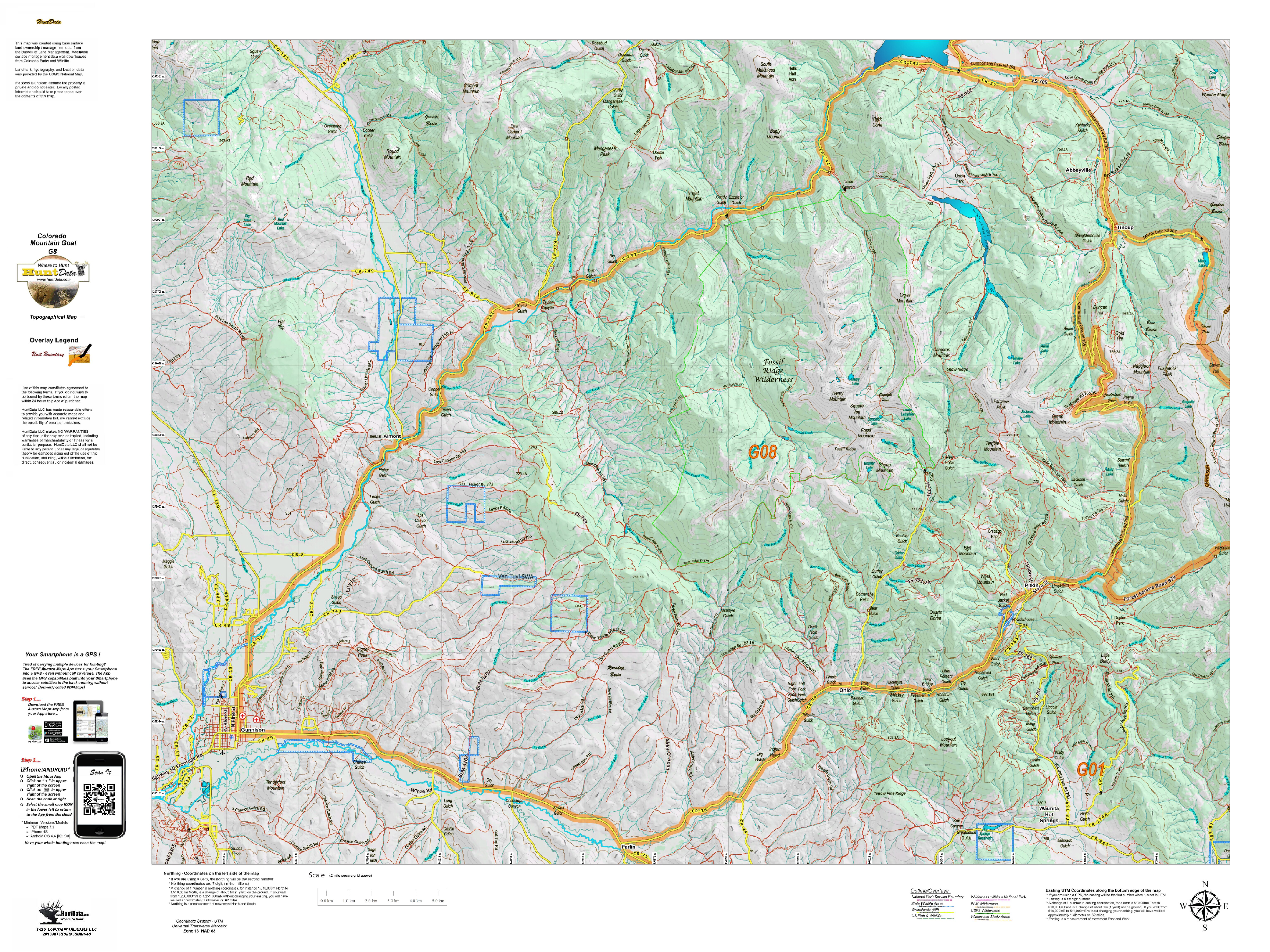
CO Mountain Goat Satellite Map with Kill Sites and Concentrations
$39.95 – $59.95
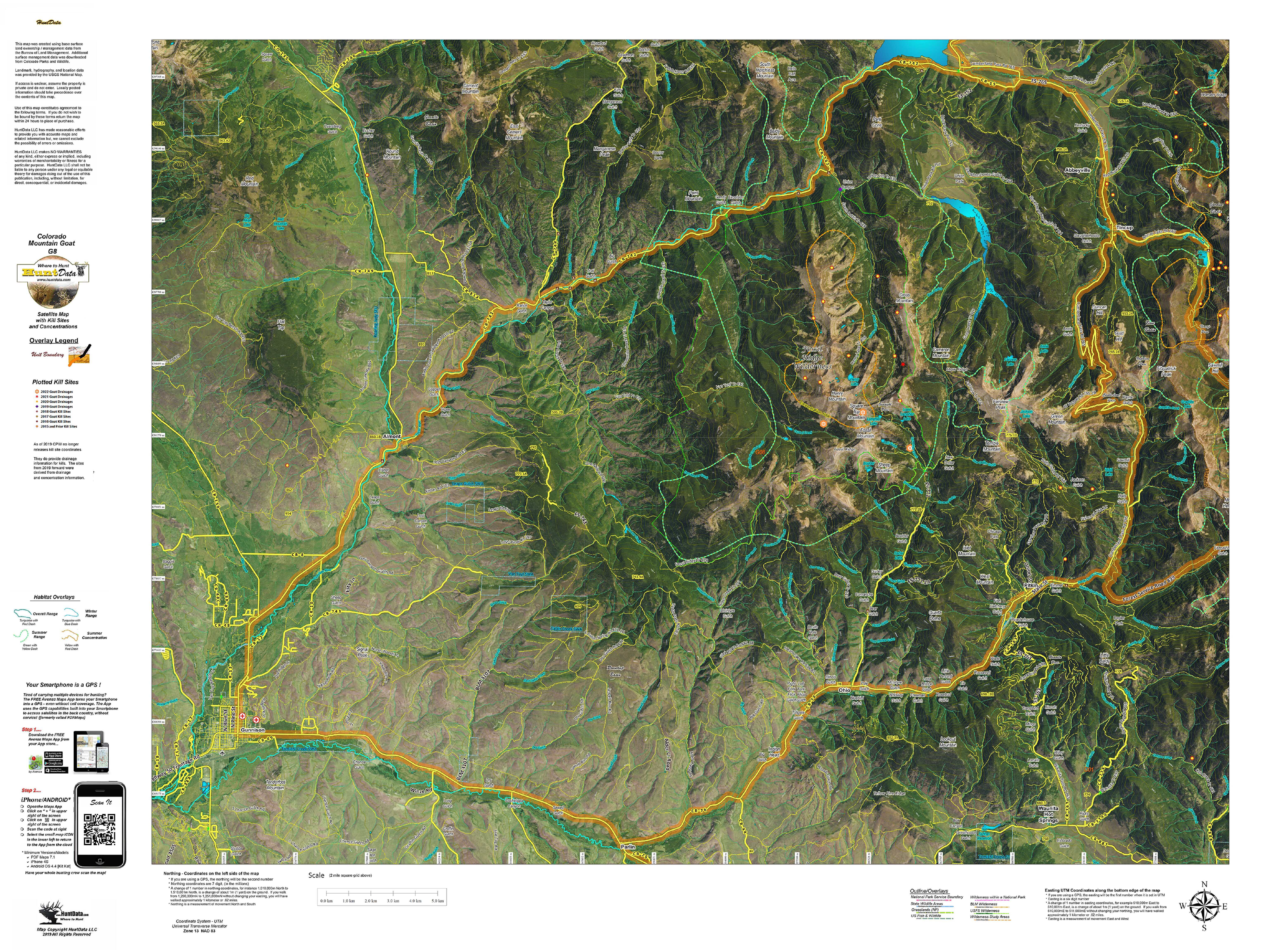
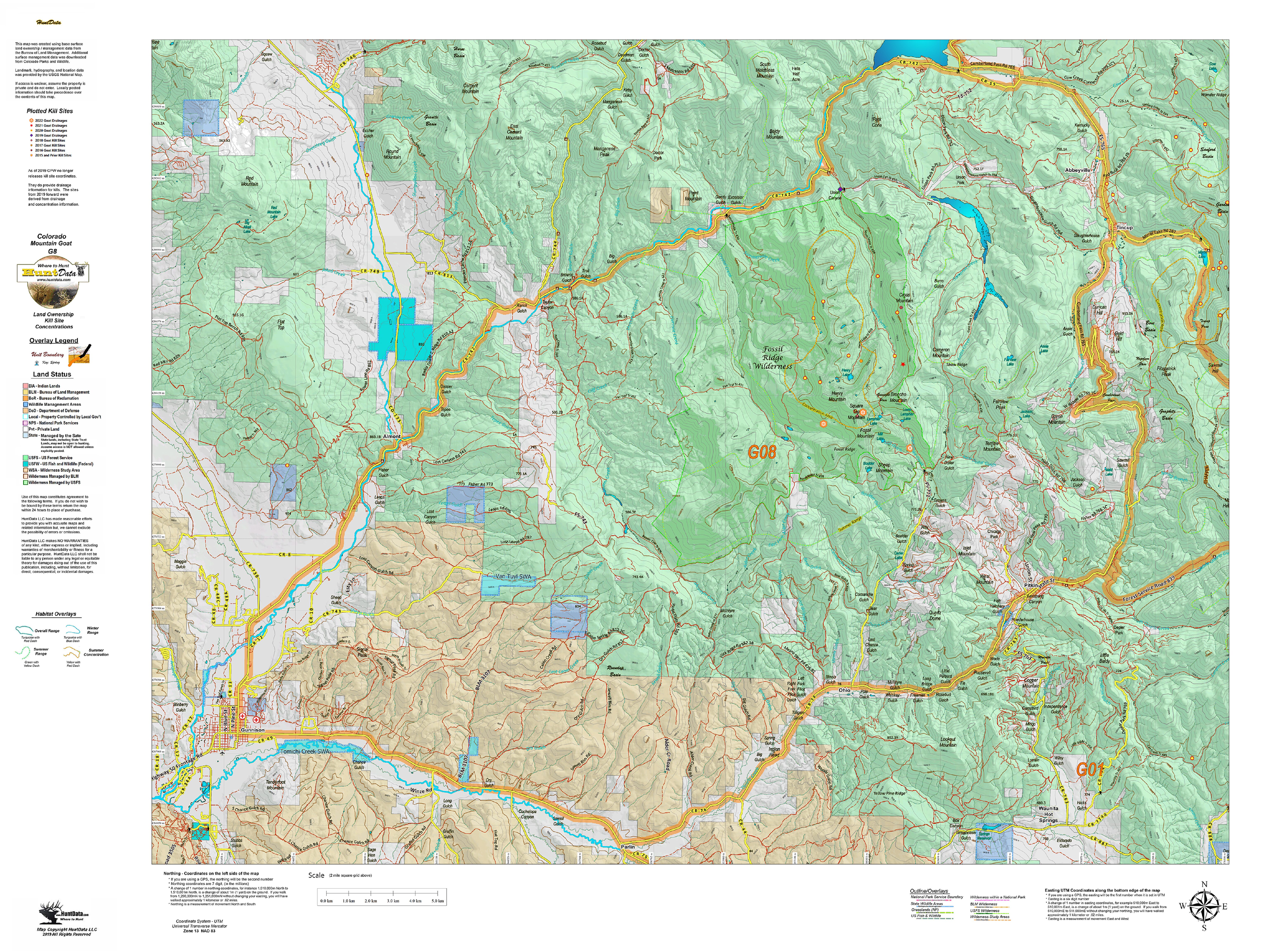
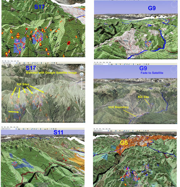
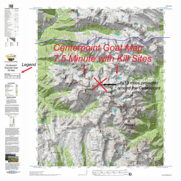
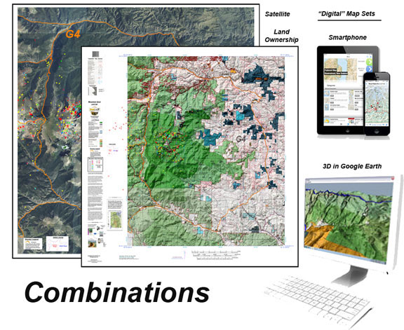
A brand new map with a satellite image base. On top, we project locations, roads, and trails from the USGS. Over that we project kill sites, kill drainages, summer and winter concentrations. This creates a great scouting tool for your once in a lifetime hunt. We print the map on our tear and water resistant fabric to make it really pop. When you add the digital maps you get Google Earth 3D images for the Land Ownership, Satellite, and Topo Maps. These maps all have a QR code you can scan using the Avenza Maps App on your Smartphone. Plan on the kitchen table, then 3D in Google and on your phone in the woods. The perfect hunting package.
A unique view of your hunting unit with a base satellite image, summer and winter concentrations, kill sites and kill drainages. Each map comes with a QR code. With the free Avenza Maps on your iPhone or droid you can scan the QR and load it to your phone. Avenza Maps works in airplane mode, no service required top use this state-of-the-art GPS App on your iPhone!
| Select a Unit |
Unit G1 ,Unit G2 ,Unit G3 ,Unit G4 ,Unit G5 ,Unit G6 ,Unit G7 ,Unit G8 ,Unit G9 ,Unit G10 ,Unit G11 ,Unit G12 ,Unit G13 ,Unit G14 ,Unit G15 ,Unit G16 ,Unit G17 |
|---|---|
| Options |
Just the Printed Map ,Add All 3 (Land Ownership, Satellite, Topo) 3D Google Earth and Smartphone Images (+$20.00) |
Only logged in customers who have purchased this product may leave a review.

Reviews
There are no reviews yet.