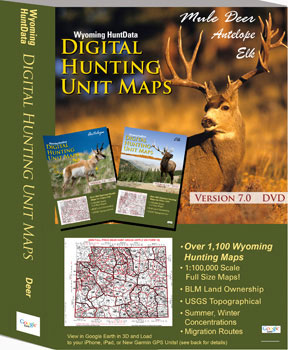
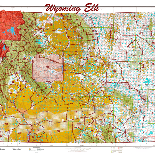
Digital Maps – Wyoming State Map Set.
A first of its kind. The Statewide Wyoming Map set consists of over 1,100 maps. This includes 3 maps for every Antelope Unit. A Topo map with boundaries, a Land Ownership Map from the BLM, and a first of its kind - a habitat map showing summer range, winter range, and migration routs. View these maps on your desktop or go mobile and load them to your iPhone, iPad, or DROID. A must-have for serious hunters.
Select options
This product has multiple variants. The options may be chosen on the product page


