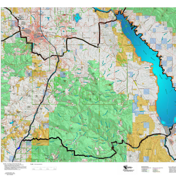
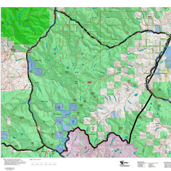
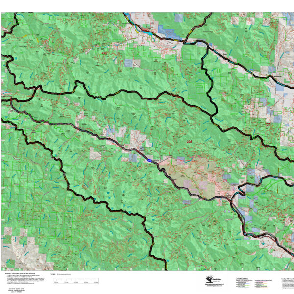
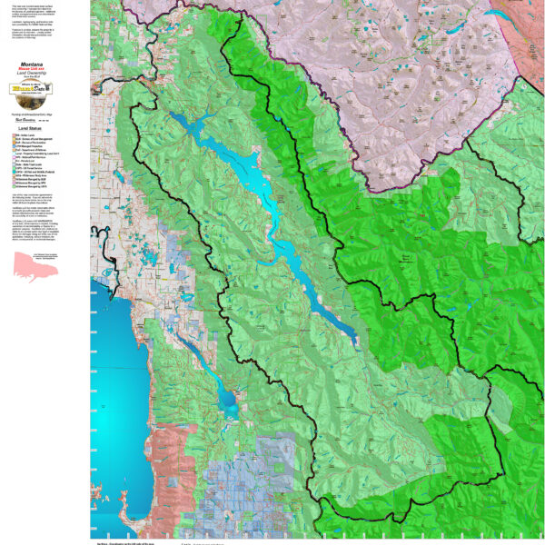
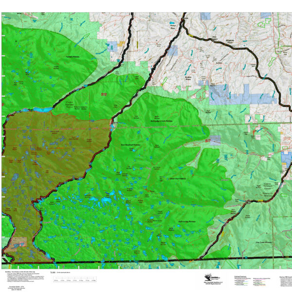
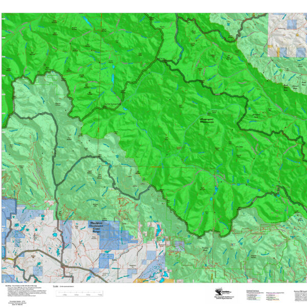
Custom Montana Hunting Maps with the most current information from the USGS, BLM, National Forest and the latest Zone Boundaries from the Montana Fish Wildlife and Parks.
Montana Antelope District Land Ownership Maps
Custom maps built from the ground up using the latest BLM Land Status information, USGS 7.5 minute roads, National Forest, State, and other land ownership information with the latest Bighorn Sheep District boundary and portion (restrictions or closed) highlights. All printed on our rugged map fabric to creating a vibrant, long-lasting map.
Select options
This product has multiple variants. The options may be chosen on the product page
Montana Bighorn Sheep District Land Ownership Maps
Custom maps built from the ground up using the latest BLM Land Status information, USGS 7.5 minute roads, National Forest, State, and other land ownership information with the latest Bighorn Sheep District boundary and portion (restrictions or closed) highlights. All printed on our rugged map fabric to creating a vibrant, long-lasting map.
Select options
This product has multiple variants. The options may be chosen on the product page
Montana Elk District Land Ownership Maps
Custom maps built from the ground up using the latest BLM Land Status information, USGS 7.5 minute roads, National Forest, State, and other land ownership information with the latest Bighorn Sheep District boundary and portion (restrictions or closed) highlights. All printed on our rugged map fabric to creating a vibrant, long-lasting map.
Select options
This product has multiple variants. The options may be chosen on the product page
Montana Moose District Land Ownership Maps
Custom maps built from the ground up using the latest BLM Land Status information, USGS 7.5 minute roads, National Forest, State, and other land ownership information with the latest Moose District boundary and portion (restrictions or closed) highlights. All printed on our rugged map fabric to creating a vibrant, long-lasting map.
Select options
This product has multiple variants. The options may be chosen on the product page
Montana Mountain Goat District Land Ownership Maps
Custom maps built from the ground up using the latest BLM Land Status information, USGS 7.5 minute roads, National Forest, State, and other land ownership information with the latest Mountain Goat District boundary and portion (restrictions or closed) highlights. All printed on our rugged map fabric to creating a vibrant, long-lasting map.
Select options
This product has multiple variants. The options may be chosen on the product page
Montana Mule Deer District Land Ownership Maps
Custom maps built from the ground up using the latest BLM Land Status information, USGS 7.5 minute roads, National Forest, State, and other land ownership information with the latest Mule Deer District boundary and portion (restrictions or closed) highlights. All printed on our rugged map fabric to creating a vibrant, long-lasting map.
Select options
This product has multiple variants. The options may be chosen on the product page
