WYOMING Antelope (Pronghorn) Hunting Maps
Hunting Units for Wyoming Antelope, Deer and Elk are each unique!
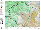
Wyoming Antelope Unit Land Ownership Maps
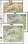
Start planning for next year with a Unit Land Ownership Map depicting private, National Forest, BLM, State, and Federal Land Status. The road and trail systems are generated from the USGS 7.5 minute map series.
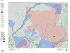
Wyoming Antelope Concentration Maps
Base Topo maps with an overlay of summer and winter antelope concentrations.
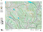
Wyoming Antelope Unit Topographical Maps
A traditional Topographical Map with GMU Boundaries, vegetation and contour lines. What is unique about our maps is the inclusion the roads and trails layer from the USGS 7.5 minute quad maps. Get the whole unit plus the details from the Quads!
Save $20 with a 2 Map Combo, the Land Ownership and Concentration Combo
2 Map Combo, Save $20 when you order the Land Ownership and Concentration Map together. Discover where you CAN (land ownership) and SHOULD (concentrations) be hunting. Get you whole hunting crew on the same page! The two maps are the Land Ownership and Habitat Maps. Both are printed on our rugged map fabric.
Save $30 with the “Hat Trick”, 3 Map Combo
3 Maps to complete your set. A Land Ownership, Antelope Concentration, and Topo Map. The first two are printed on our rugged map fabric to last for years. The Topo Map is on tear and waterproof paper, designed top be a light, fast guide to your unit!
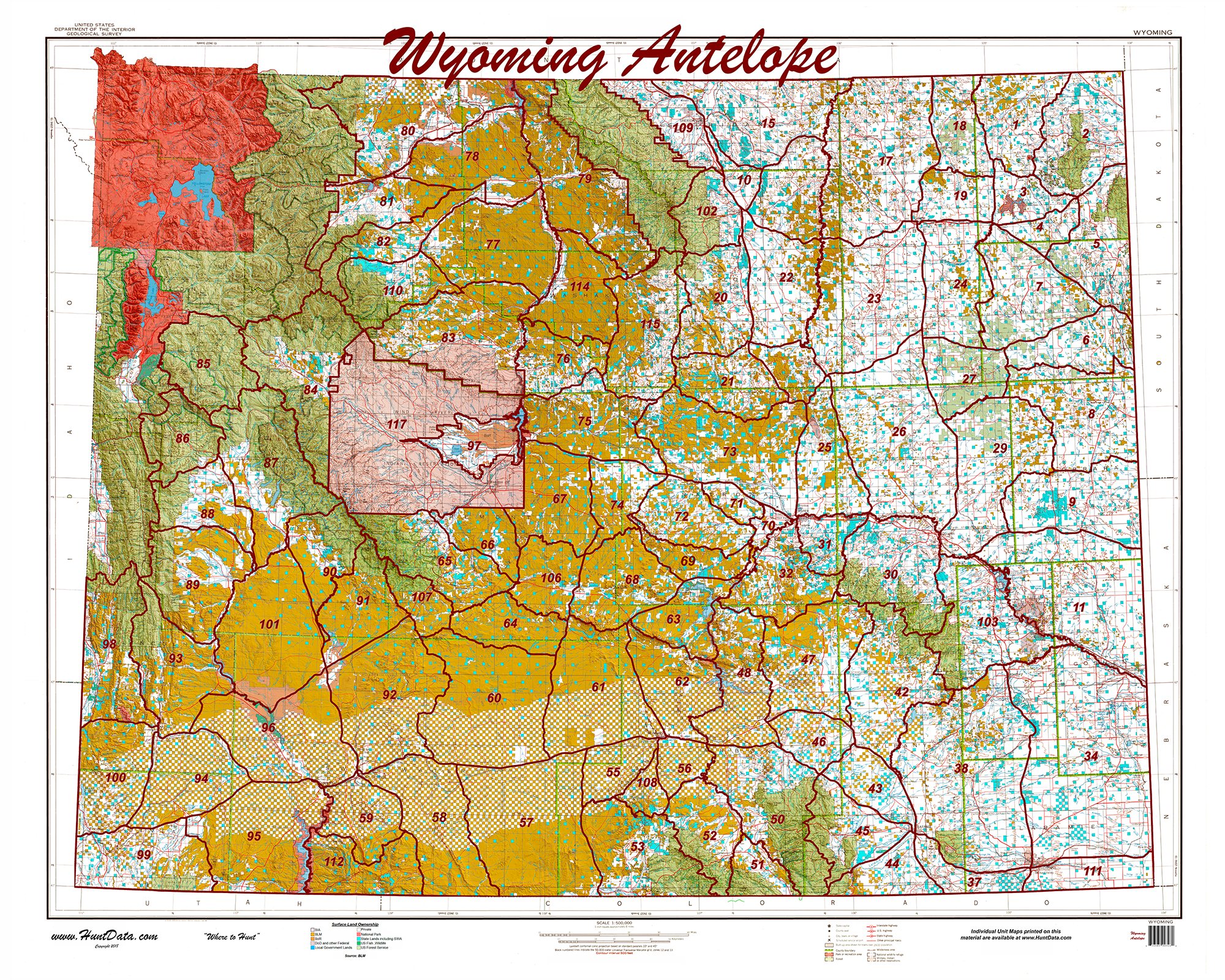
Wyoming Statewide Printed Map
Statewide 1:500,000 BLM (Land Status) and 1:500,000 Shaded Relief Maps displaying the whole state with GMU boundary overlays. Great for hunting-based business or just conversation pieces in the den. The maps are 3′ x 4′ and are available on paper or canvas. Statewide GMU Maps including Private Land, BLM Lands,State Lands, National Forest, USGS Shaded Relief and more.
Looking for a new hunt? Explore every unit and season in 3D!
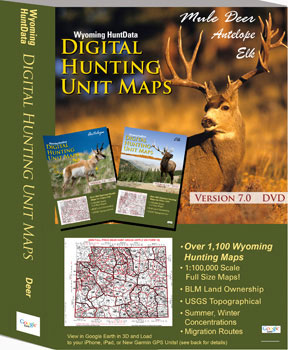
Our Digital Map set contains over 1,500 maps on a 60gb thumb drive. Pull up the maps in Google Earth (free). Switch between species in your unit or view elk in every over-the-counter unit. Answer, where are the concentrations? Are they on public lands? What is the terrain like? When you are ready to hit the trail scan the QR code on each map and load using Avenza Maps for your Smartphone. The over 1,500 maps are included on the drive. This is what you need in the offseason!
